

The GnosisGIS network organizes scientific meetings, offers training courses, collaborates in research, and publishes the journal of Geospatial Health. Membership is open to health professionals, geoscientists and others who are actively interested in the advancement of geospatial health.


Geospatial health aims to better understand the relationships between people, their health and well-being, changing physical and social environments, and health care delivery systems. Geospatial health converges concepts, knowledge, tools and techniques developed in the public health and the geo-sciences domain
| Geospatial Health Analytics Workshop (online)/ Hybrid mode (16 June)Communicable diseases - AI/ML for Disease mapping, Dispersion, Prediction, and Prescription from a Geospatial Perspective -Public health management Non-communicable diseases - AI /DL - disease detection, Remote Sensing/GIS Data Analysis -population health management Zoonotic diseases mapping- infectious illnesses that spread between animals and humans - Geospatial Analysis- |
| GNOSISGIS 2025 - ANNUAL SYMPOSIUM AS special session within ECTMIH 2025GnosisGIS will conduct its 18th International Symposium on Geospatial Health as part of ECTMIH 2025. The theme of our symposium is “Geospatial Health: interdisciplinary approaches for advancing global health". |
March 2024 | GNOSISGIS 2024 - dedicated annual symposium as part of EMOP2024GnosisGIS will conduct its 17th International Symposium on Geospatial Health as part of EMOP XIV. The theme of our symposium is “Artificial Intelligence and Digital Health: Multidisciplinary Examination of Potential Applications in Geospatial Analysis". The GnosisGIS symposium will consist of a full day session facilitating both F2F and remote contributions. Further details on the GnosisGIS symposium will follow in due time so keep an eye EMOP XIV and on this website (www.gnosisgis.org). |
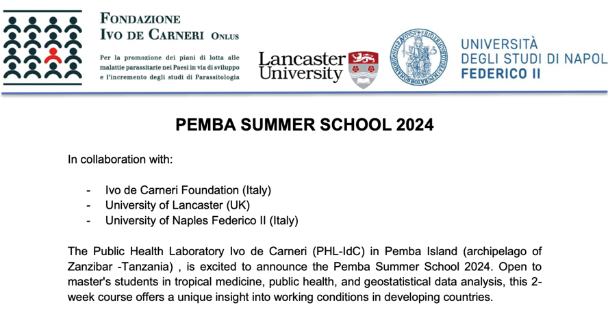
March 2024 | PEMBA SUMMER SCHOOL 2024The Public Health Laboratory Ivo de Carneri (PHL-IdC) in Pemba Island (archipelago of Zanzibar -Tanzania), is excited to announce the Pemba Summer School 2024. Open to master's students in tropical medicine, public health, and geostatistical data analysis, this 2- week course offers a unique insight into working conditions in developing countries. In collaboration with: Ivo de Carneri Foundation (Italy), University of Lancaster (UK, University of Naples Federico II (Italy)When: 1 - 12 July 2024. Further details here. |
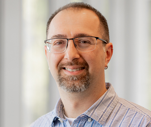
| NEW MEMBER GNOSISGIS EXECUTIVE COMMITTEE & ASSOCIATE EDITOR OF GEOSPATIAL HEALTHCurrently, Behzad holds the position of Research Fellow of Infectious Diseases Spatial Epidemiology at the University of Queensland Centre for Clinical Research, Australia, where he continues to make ground-breaking contributions to the field. His research interests encompass geoinformatics and spatial epidemiology, with a focus on digital health and methodological excellence in spatial epidemiology. Behzad’s home page. |
March 2024 | Conference informationThe GEOMED conference is a bi-annual international meeting on spatial epidemiology. The conference focuses both on the developments in methodology and the applications of methods for spatial and spatio-temporal data in public health. The growth in availability of spatially references data of both infectious and non-infectious diseases is increasing the demand for spatial and spatio-temporal analyses. Both GIS technology and spatial statistics are fundamental in the analysis of this data, and the field’s methods are quickly expanding. More information here |
We thank Jen dearly for her hard work, dedication, and the essential support she provided for our society. | HANDOVER OF GNOSISGIS SECRETARIATEJen has - in a superb manner - taken care of financial matters, provided extensive support when organizing the annual GnosisGIS symposium, and has been the liaison and information source for the members of our society ever since the early stages of the International Society of Geospatial Health. The Faculty of Geoinformation Science and Earth Observation (ITC), of the University of Twente, the Netherlands takes over this role for the coming years |
March 2024 | HEALTH & MEDICAL GEOGRAPHERS IN A CHANGING WORLD: LOOKING BACK AND MOVING FORWARDThe International Medical Geography Symposium (IMGS) is a biannual meeting of health and medical geographers from around the world. Please join us at the Hyatt Regency Hotel in downtown Atlanta, USA from July 14 to July 19, 2024. Call for Abstracts [DEADLINE: 4/30/2024] Registration Information [EARLY REGISTRATION ENDS 3/31/2024] |
23 - 24 February Bangalore, India | THE 11th International Transforming Healthcare with IT (THIT) CONFERENCETHIT (Transforming Health Care with IT) is an annual international conference and the largest healthcare conference in India organized by Apollo Telemedicine Networking Foundation, part of Apollo Hospitals Group. Further information and registration here. |
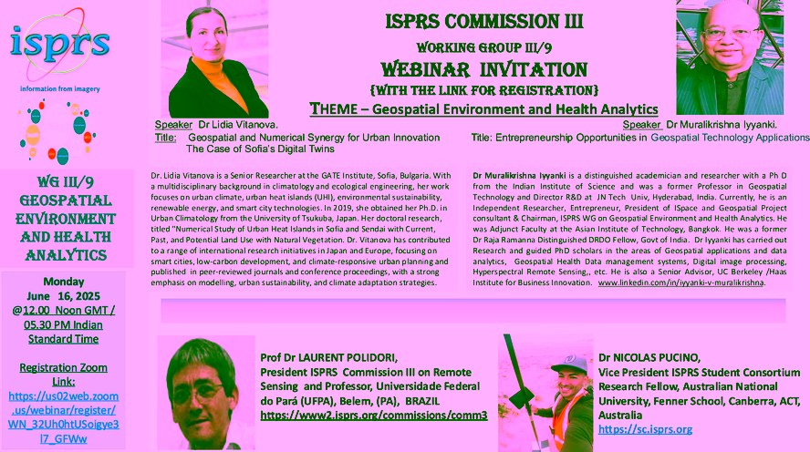
WEBINAR ISPRS WORKING GROUP III/9 ON GEOSPATIAL ENVIRONMENT AND HEALTH ANALYTICS
12 JANUARY 2024.10:00 AM CENTRAL TIME (US AND CANADA) | On 12 January 2024, 10:00 AM Central Time (US and Canda) the ISPRS Working Group III/9 on Geospatial Environment and Health Analytics will host an online webinar with the following two presentations on the theme "Earth Observation Systems EOS for Population Health Management":
Please register here. |
16th international symposium on geospatial health"Interdisciplinary Geospatial Research for Planetary Health" UNIVERSITY OF TWENTE, THE NETHERLANDS 13 - 16 NOVEMBER 2023 EARLY BIRD REGISTRATION EXTENDED TO 1 OCTOBER ABSTRACT SUBMISSION EXTENDED TO 10 OCTOBER | Dear Colleague, We are delighted to invite you to the 16th International Symposium on Geospatial Health, which will be hosted by the Faculty of Geo-Information Science and Earth Observation of the University of Twente, The Netherlands in the week of 13 to 16 November 2023. The leading title of GnosisGIS 2023 aims to expand horizons, strengthen communication, and improve interdisciplinary collaboration and research. The meeting takes on the challenge of exploring subjects such as new data sources, emerging technologies, data-driven approaches, spatio-temporal methods, and impacts of climate change, human activities, and animal interaction on human and veterinary health. More information here |
February 2023 | Welcome to the GeoHealth Hour ! The GeoHealth Hour is a monthly talk series all about spatial approaches to health topics. With this talk series, we want to showcase the wide variety of topics and techniques, people and projects that make up Geo-Health. The talks are usually held online on the third Monday of each month at 13:00 CET/CEST, with some flexibility for speakers from different time zones. Future talks are listed here as soon as details are fixed. If you like to receive a notification about upcoming talks, please subscribe here. |
September 19ᵗʰ – 21ˢᵗ 2023,Abruzzo, Italy. February 2023 | International Conference of Spatial Epidemiology, Geostatistics and GIS applied to animal health, public health and food safety Since 2001, the GeoVet conference, held every 3 years, brings together a diverse group of international experts in spatial epidemiology, spatial statistics and Geographical Information Systems applied to animal health, public health and food safety. Further information can be found here |
December 2022 | Call for Sessions for German Congress of Geography in Frankfurt (19-23 September 2023) The Call for Sessions for the German Congress of Geography in Frankfurt is now open. Proposals for side events can be submitted until 16 January 2023, and abstracts for papers can be submitted from 23 January till 13 March 2023. Further information can be found here |
| Apply as a visiting professorApplications for the 2024 edition (ie. from 10. June to 5. July 2024) are open until 15. February 2023. 4 teaching positions are available. Further information here |
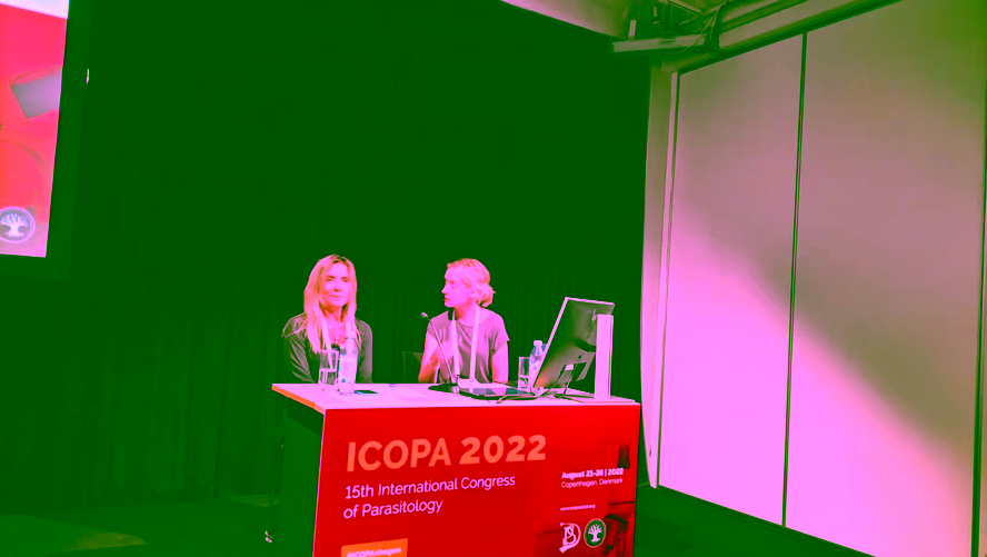
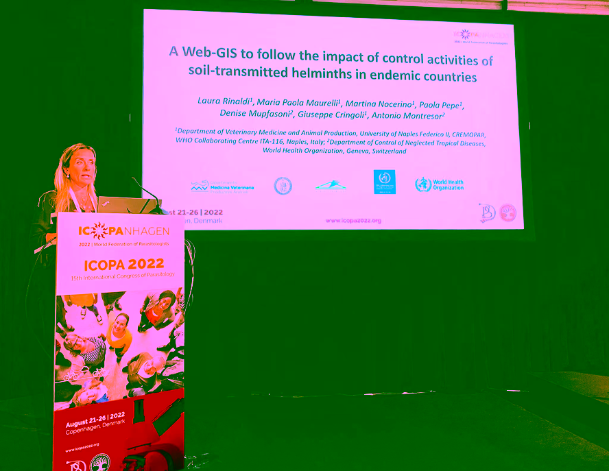
GEOSPATIAL HEALTH SESSION AT ICOPA 2022
August 2022 | A special GnosisGIS session, coordinated by Sofie Stensgaard and Laura Rinaldi, was conducted as part of the International Congress of Parasitology, in Copenhagen, Denmark from 21-26 August 2022. The session with state-of-the-art scientific presentations attracted over 100 participants, and resulted in lively discussion. The session was a great succes!
|
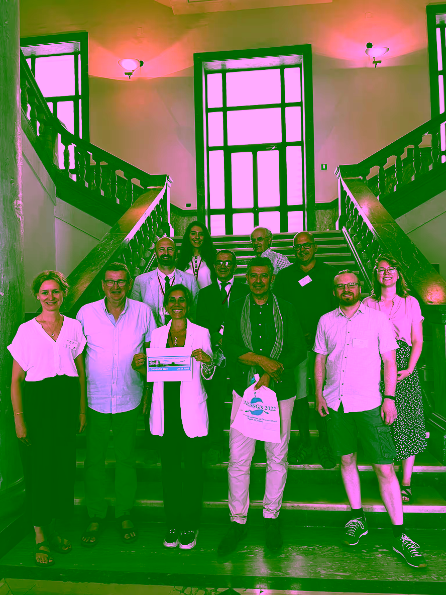
15TH INTERNATIONAL SYMPOSIUM ON GEOSPATIAL HEALTHThe International Society of Geospatial Health (GnosisGIS) successfully held its 15th International Symposium on Geospatial Health in Naples, Italy on 28-29 June. The symposium consisted of a mix of face-to-face and virtual presentations. A BIG thank you to all presenters and the organisers of this successful event! | |
|
|
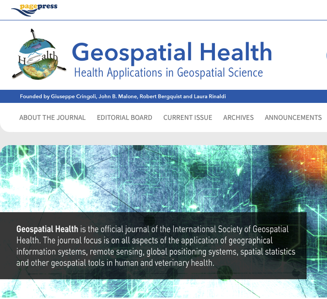
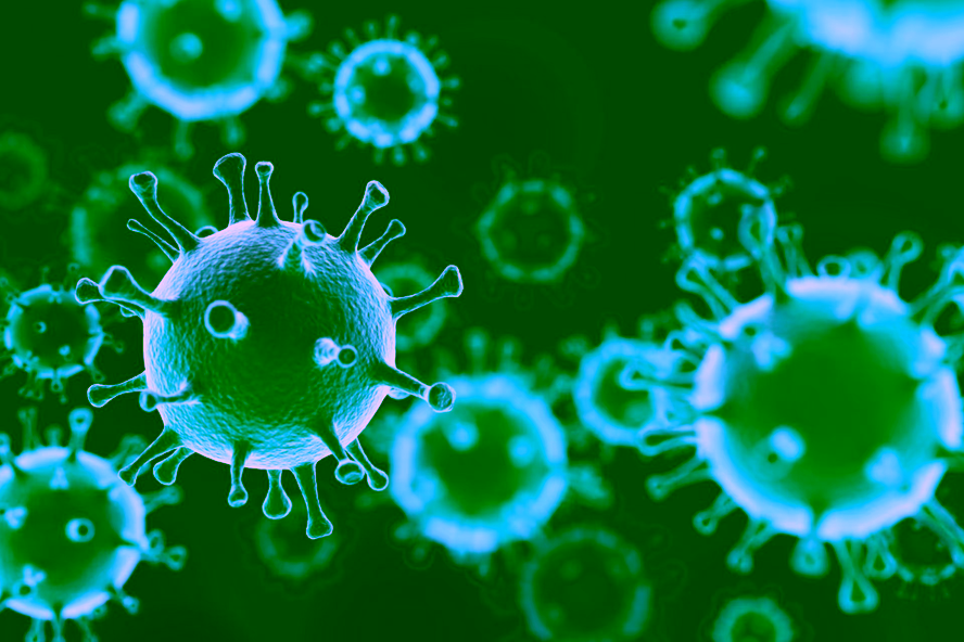
October 2021 | Geospatial Health: thematic issue on covid-19Geospatial Health is pleased to announce a thematic issue on COVID-19 with special reference to geospatial analysis. Submissions are welcome on mobility; socio-economic geography; accessibility to care and vaccination; and prevention and vaccine hesitancy based on geographical information systems (GIS) tools; spatial statistics including modelling; mapping; and risk factor analysis. We aim for geographically widespread research, and manuscripts showcasing results that can be applied in practise in the near future will be prioritised. The peer-review process for this special issue will be rapid with publication scheduled for February 2022. Manuscripts will be accepted until 31st December 2021. Non-aligned guest editors will support the editors and the Editorial Board in selecting and editing manuscripts. The processing charge for publication is 750 Euro. |
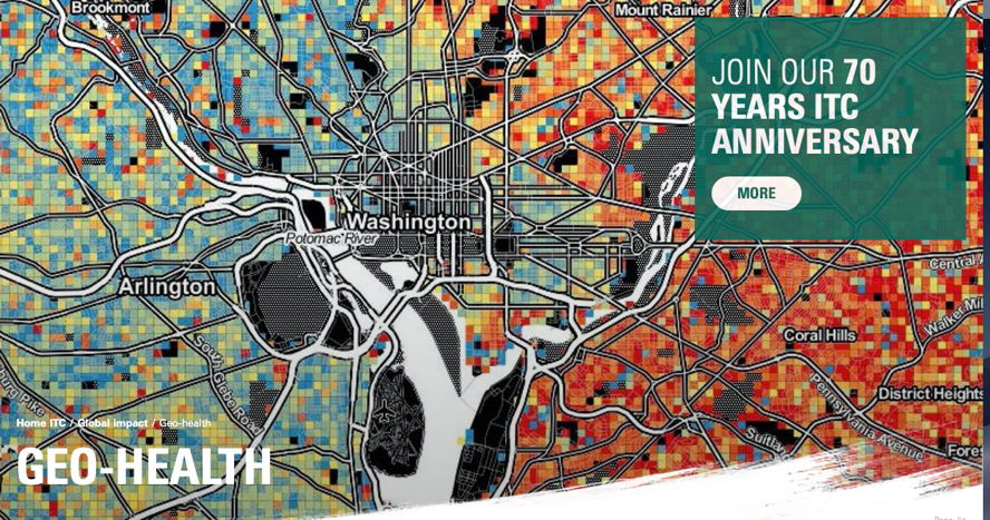
October 2021 | GEOHEALTH SEMINAR as part of ITC 70-year anniversaryThe seminar will take place on Wednesday, October 27th 2021. The morning programme (09:00 - 10:30 CET) features two key note lectures. One by Juerg Utzinger (Director of the Swiss Tropical and Public Health Institute) and one by Justine Blanford (Professor of GeoHealth at the Faculty of Geo-Information Science and Earth Observation). From 11:00 - 12:15 CET ITC PhD alumni will discuss possible career paths in GeoHealth. From 13:30 - 17:00 CET a network and matchmaking session will be facilitated. Details: https://www.itc.nl/about-itc/70-years-itc/programme/geo-health/ Registration required: https://www.itc.nl/about-itc/70-years-itc/registration-form/ |
| WORRY AND CHILDREN ACTIVE BEHAVIOUR AMID THE COVID-19 PANDEMICPlease take a look at this timely ongoing research by PhD candidate Roula Zougheibe on the effects of COVID-19 control measures on the social and mental wellbeing of children in Australian populations. For details see this link |
| 14th International GIS Symposium of Geospatial HealthOctober 12-16, 2021 in Belgrade, Serbia. Participation can be both face-2-face and virtual. The symposium is organised as part of the EMOP2021 conference scheduled for Deadline for abstract submission: 5 July. Further details: https://emop2020.org Looking very much forward to this exiting event and hope to meet you soon in Belgrade. |
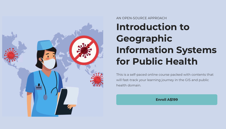
| Introduction to Geographic Information Systems for Public Health - an open source approach This is a self-paced online course packed with contents that will fast-track your learning journey in the GIS and public health domain. for further information see video here and for more information on the course content here |
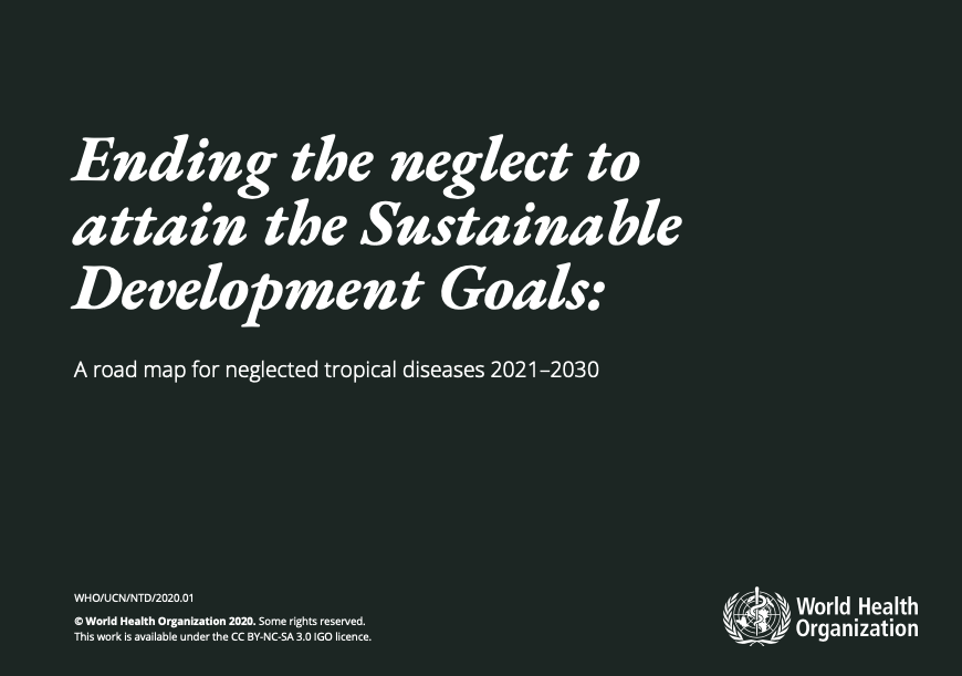
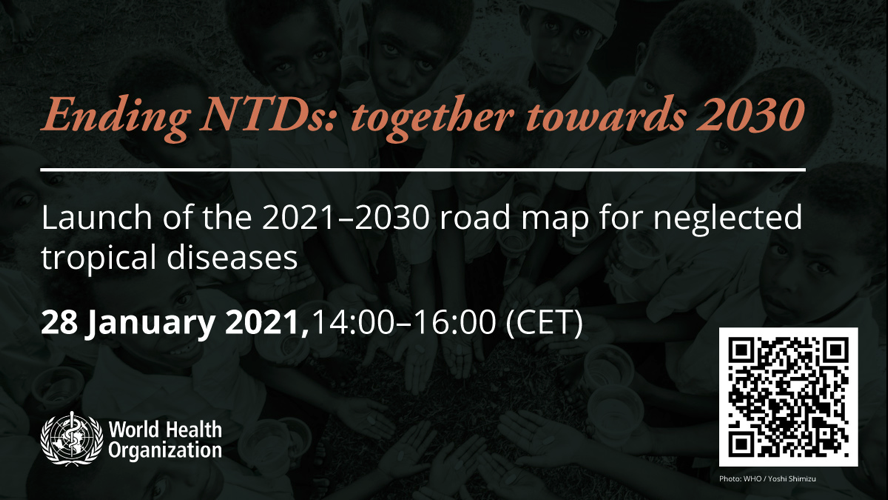
| NEW ROAD MAP 2021-2030 for NTDsThe World Health Organization (WHO) will formally launch its new road map for neglected tropical diseases on 28 January 2021. Registration is open for the virtual launch which comprises a 2-hour programme. ‘Ending the neglect to attain the Sustainable Development Goals: a road map for neglected tropical diseases 2021–2030’ is a high-level strategic document aimed at strengthening programmatic response to NTDs and focuses on how cross-sectoral, integrated interventions, smart investment and community engagement can strengthen and sustain health systems
|
| WORLD NTD DAY 2021 30 January 2021 marks the second annual World NTD Day, as we celebrate hard-earned progress and take action to #EndtheNeglect and #BeatNTDs. Around the world, 230 partners signed up to celebrate World NTD Day in 2021. further information here |
Dr. Donal Bisanzio | Landsat Gives Epidemiologists Key Insights Mar 5, 2020 • We recently had the opportunity to talk with Dr. Donal Bisanzio, a senior epidemiologist with RTI International, about the intersection of epidemiology and remote sensing. Dr. Bisanzio trained as a veterinarian—he earned both a Doctor of Veterinary Medicine and a Ph.D in Veterinary Medicine from the University of Turin—before becoming an epidemiologist. For the full interview see: https://landsat.gsfc.nasa.gov/landsat-gives-epidemiologists-key-insights/ |
| Coronavirus dashboards that map the spread of COVID-19. Here are some of the more useful dashboards that we have been able to find online. The listing is by no means intended as complete. |
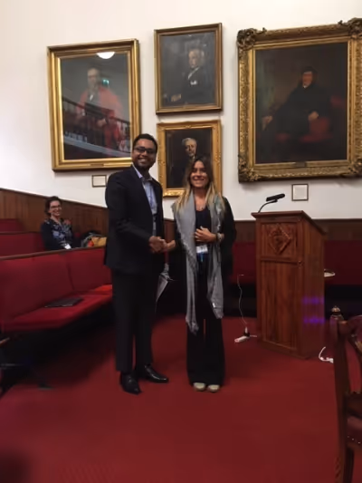
| Travel award for Mr T.A. Robin, Bagladesh handed over by Prof Laura Rinaldi at the Liverpool Medical Centre, Liverpool, UK September 2019 |
 June 2025
 March 2025
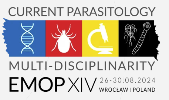
 Dr. Behzad Kiani earned his PhD from Mashhad Medical School, Iran, in 2017, marking the initiation of his illustrious academic journey. Behzad served as an Assistant Professor at the same Department from 2018 to 2022, where he contributed significantly to the field through his teaching and research endeavors. He then broadened his horizons as a Postdoctoral Researcher working on urban health at the University of Montreal, Canada, from 2022 to 2023, delving deeper into the intricacies of spatial epidemiology
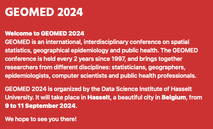
 After many years of dedicated work for GnosisGIS, Jen McCarroll handed over the secretariat and treasurer tasks during the 2023 GnosisGIS symposium.
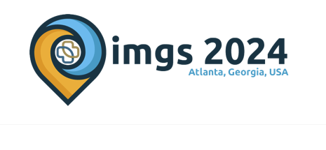


 The GeoHealth Hour is organized by members of the Geo-Health group at the ITC. You can reach us at
 August 2022
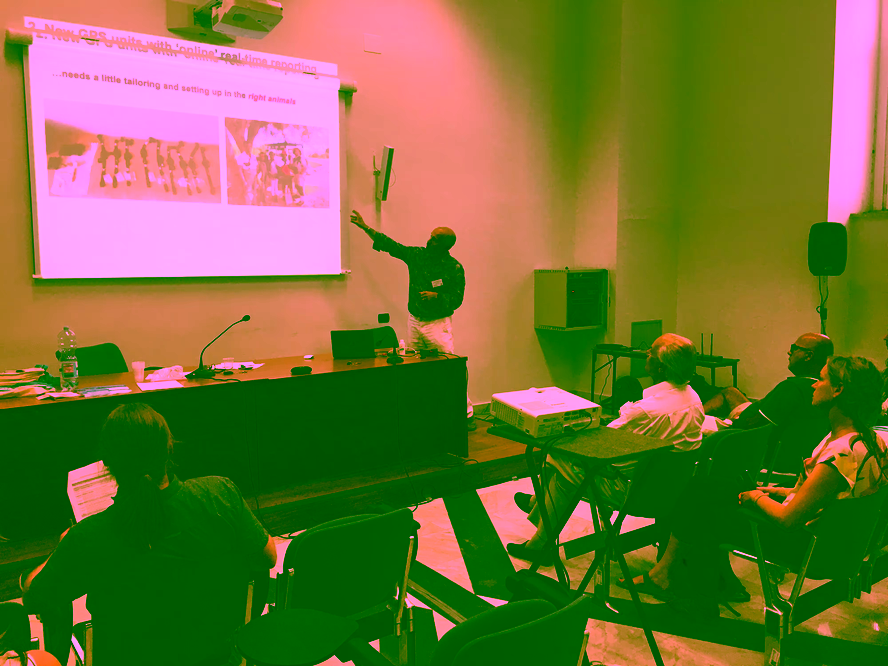

 Source: Ernst & Young Global Limited